Tom, Field, and Willey (Winter)
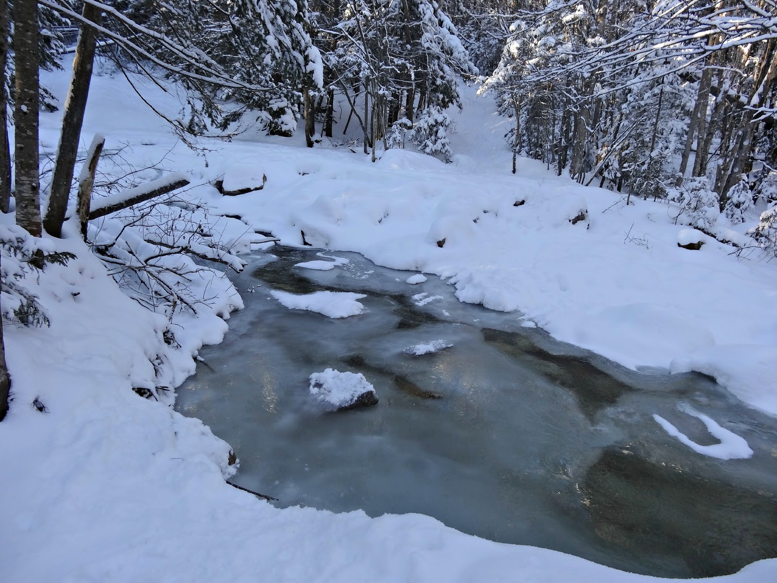
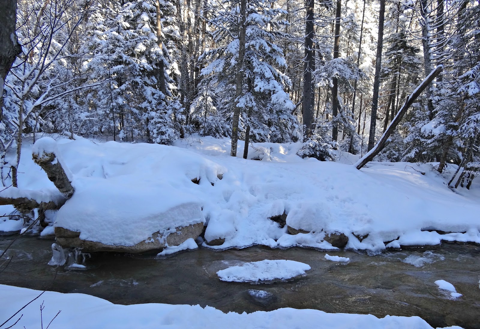
 There are two stream crossings that will eventually be easy in winter, but neither were iced over yet. The first crossing you can go left for 15 or so feet before getting to a much easier crossing. The second crossing is hoppable. Yes, I am now making up words.
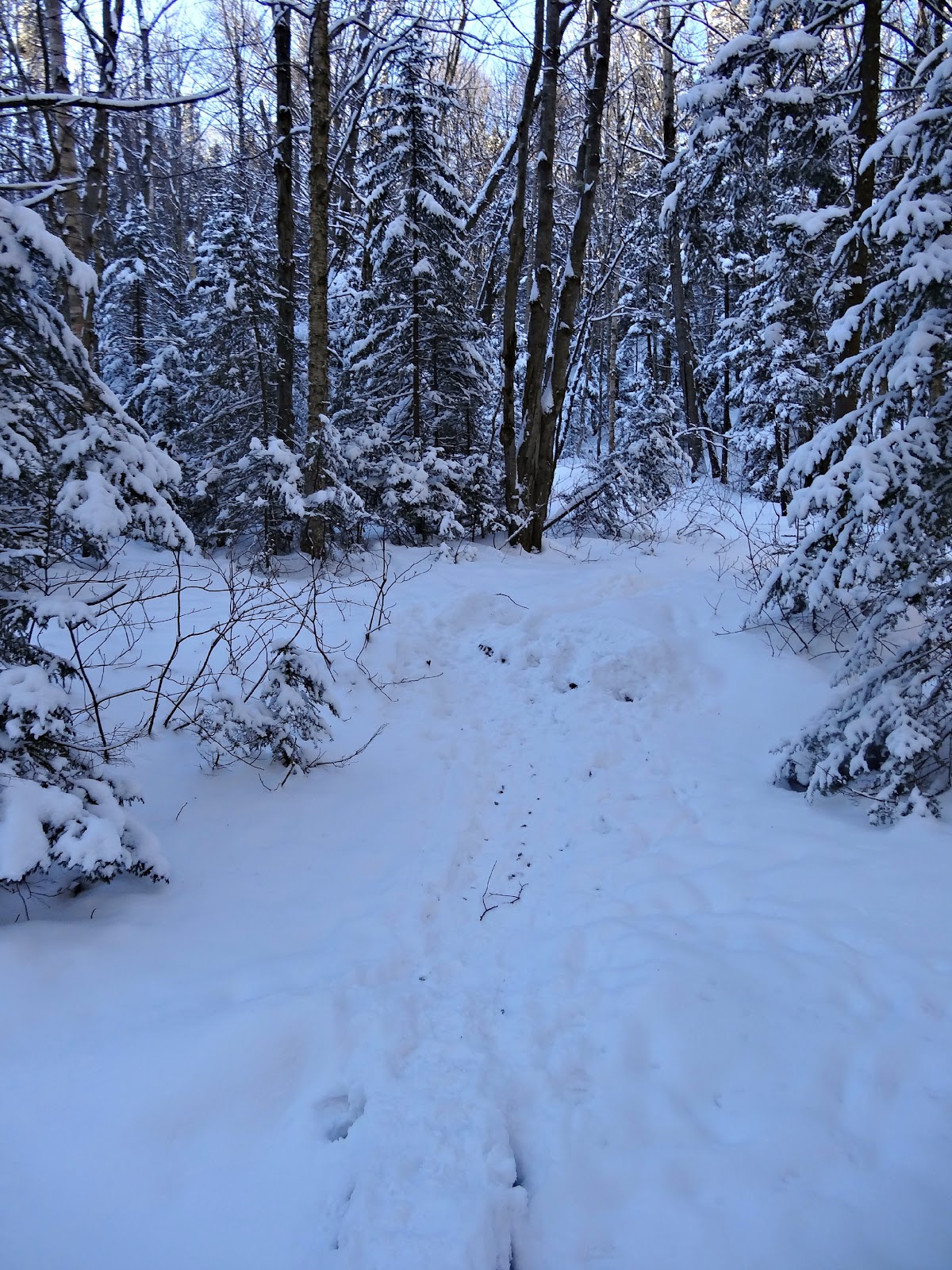
There were two solo hikers ahead of us that morning and it looks like the trail was pretty well used. Microspikes are definitely useful on the Avalon trail. I told myself I'd put my snowshoes on after the water crossings, but I decided to put that off until after Mt. Tom. I think they would have been useful as that trail wore me out!
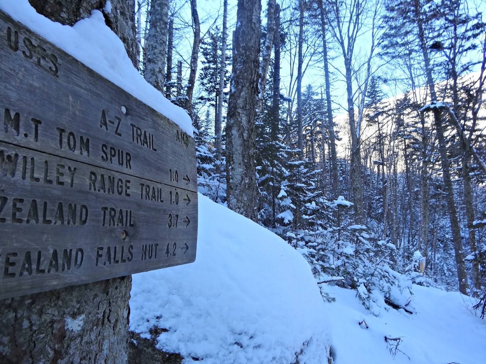
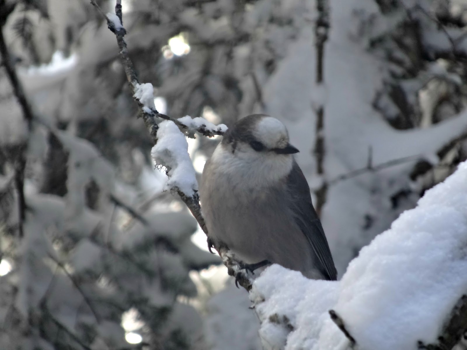
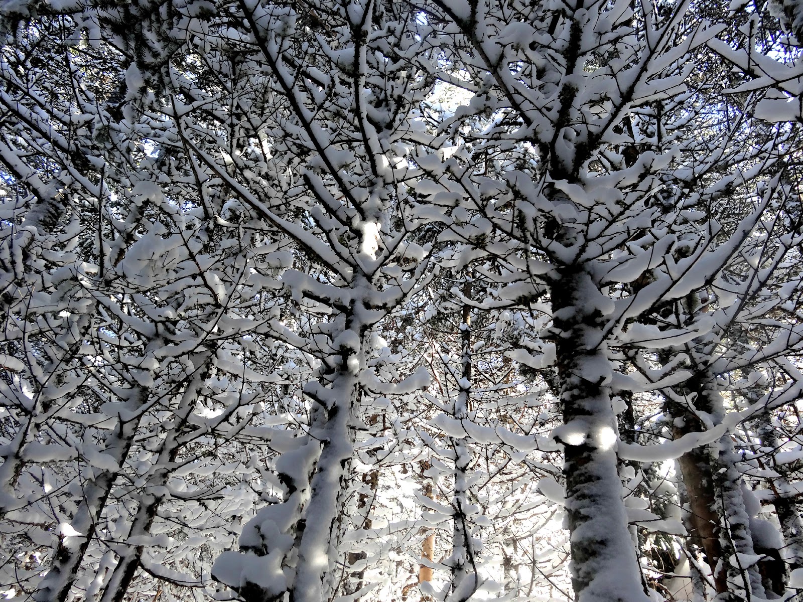
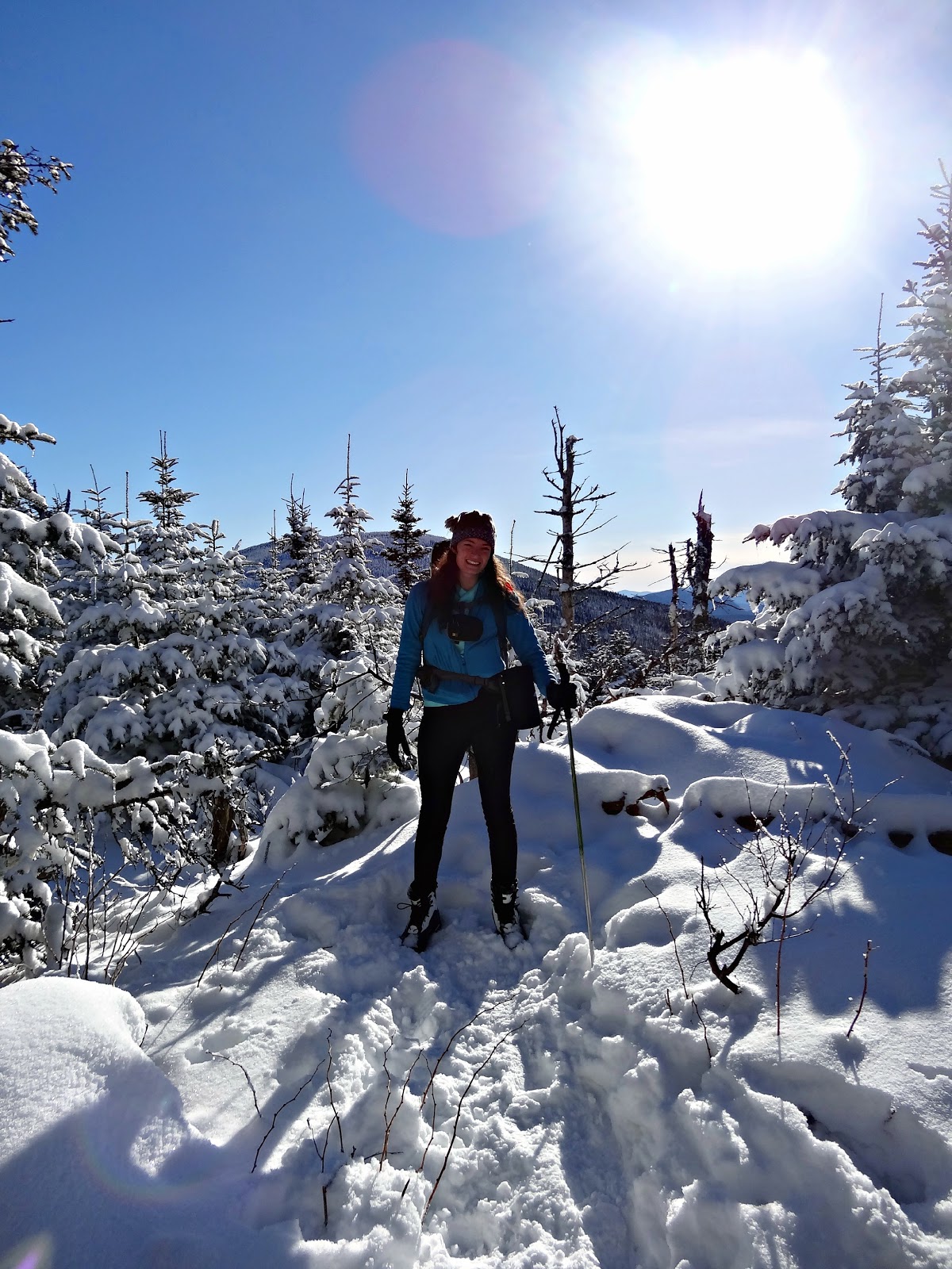
The trail in winter is so pretty with the snow covered branches. I love how magical the trails look.
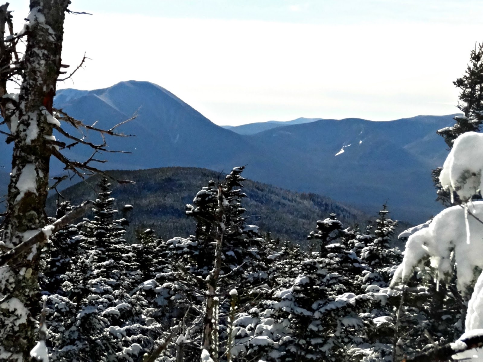
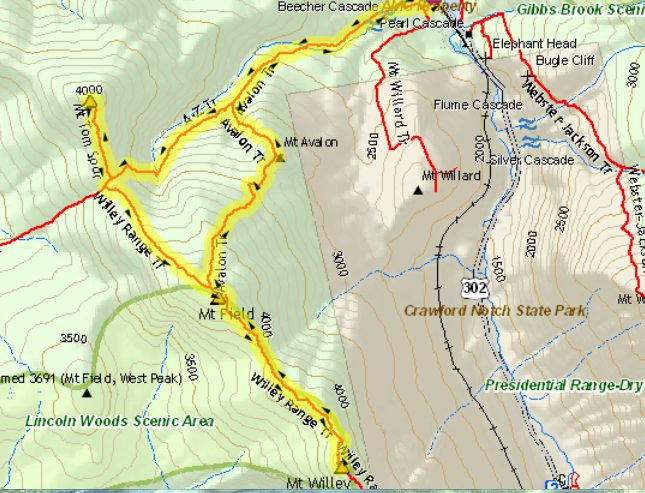
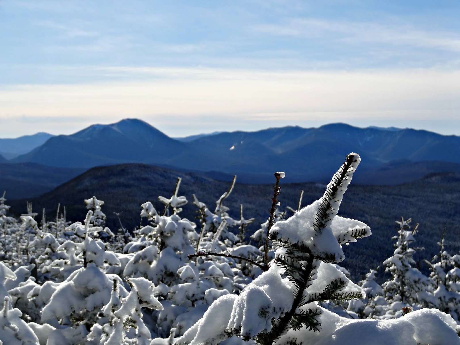
Our first stop was Mt. Tom (4051') which had some descent views over the trees. The other two peaks had nice outlooks. We had a perfect day. Not a cloud in the sky and absolutely no wind. It was actually the calm before the storm as we were expecting a blizzard starting that night.
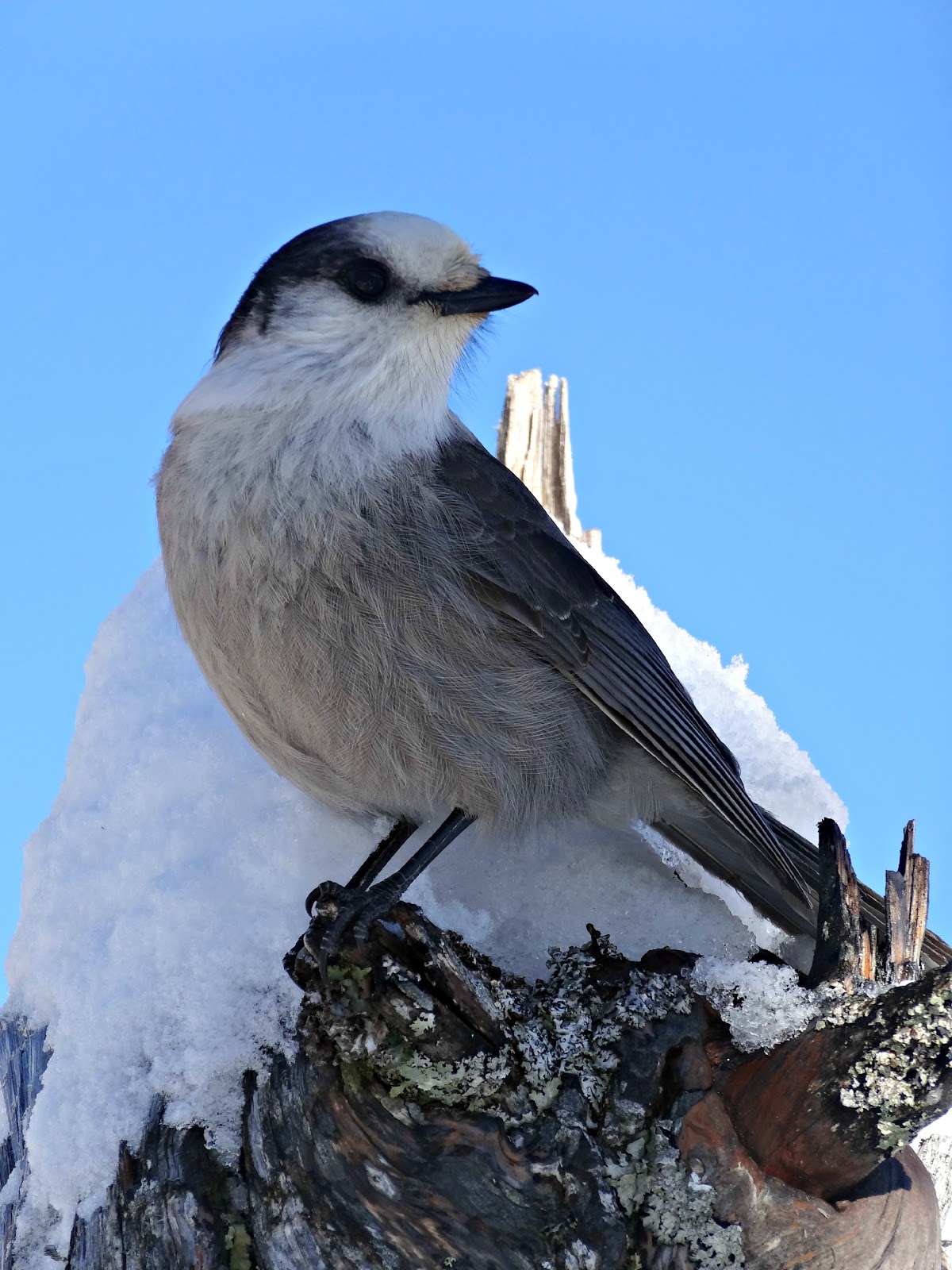
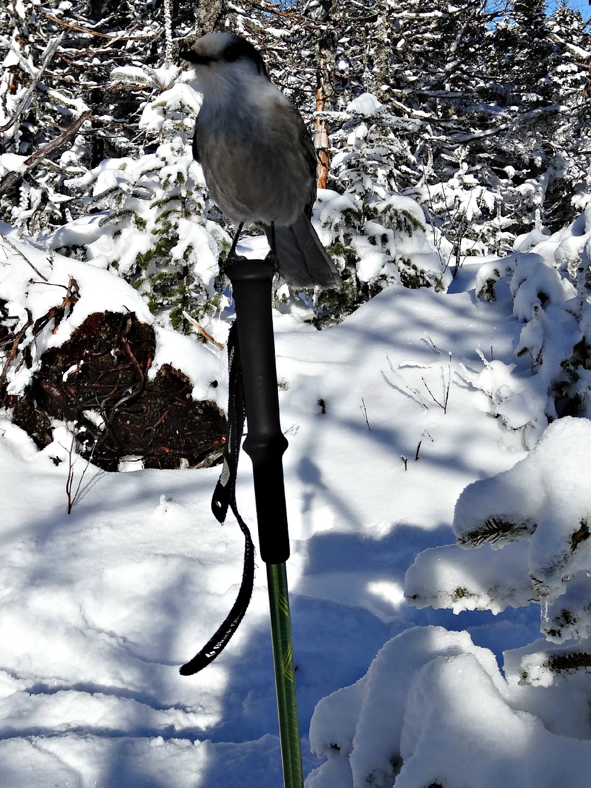
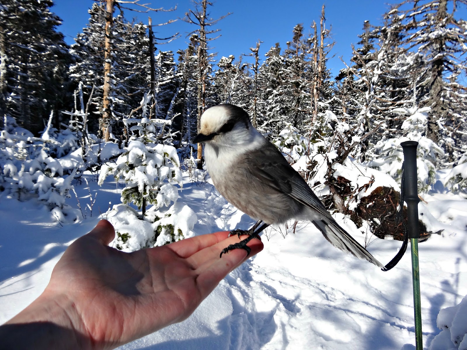
I probably spent a little too much time playing with the birds as we were going to be battling against sunset, but they were so cute!
Our next stop was Mt. Field. The trail between Tom and Field wasn't too bad. There were a handful of steep spots, but we got a lot of elevation done climbing up the Avalon trail.
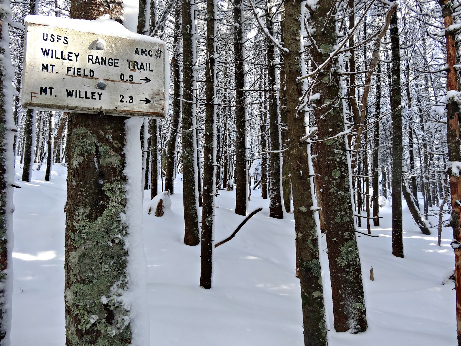
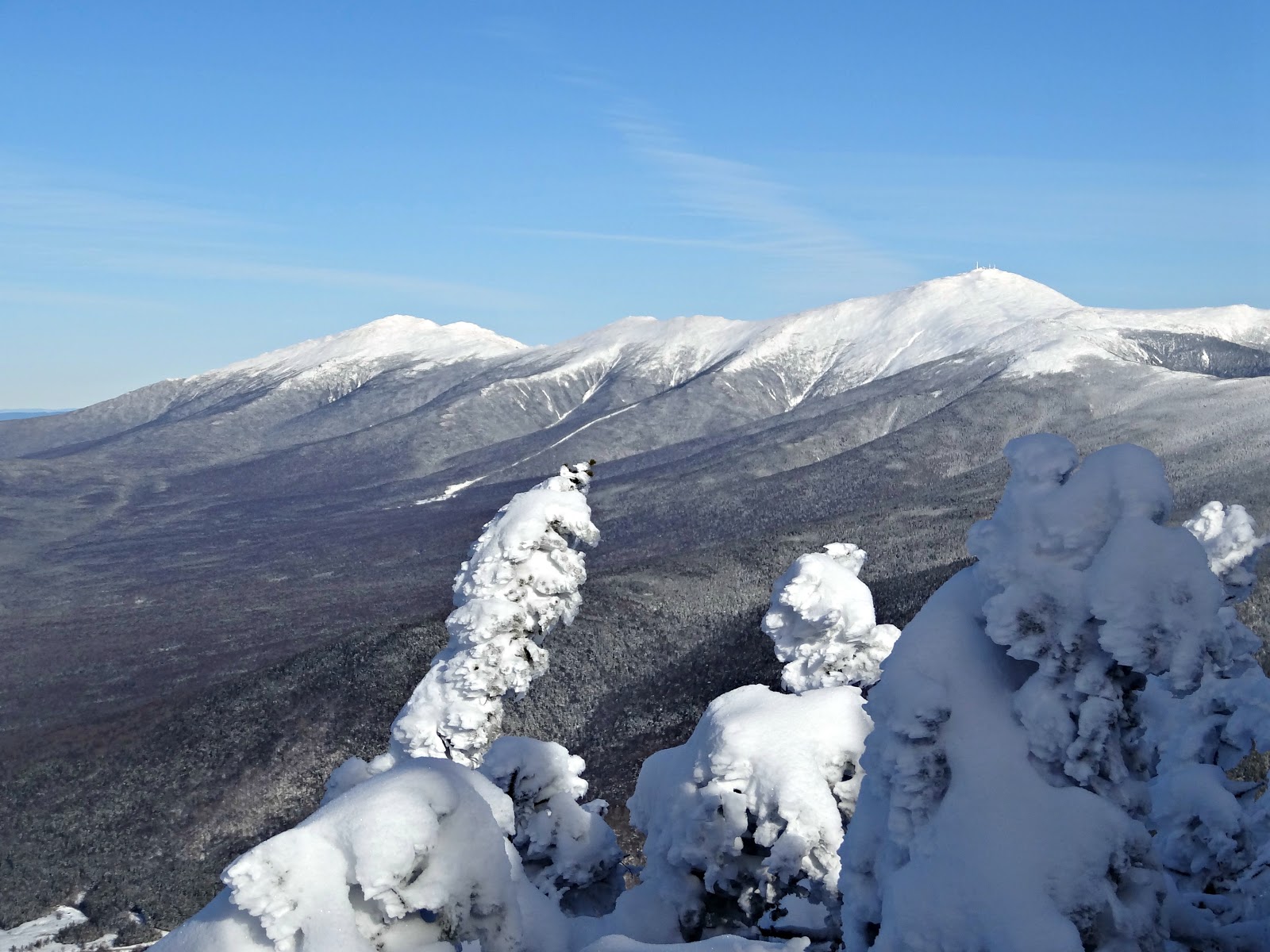
Mt Field (4340') is the highpoint of the range and where I flew my group's flag for the Flags on the 48 event this past September. When you reach the summit, go left and you will have beautiful views.
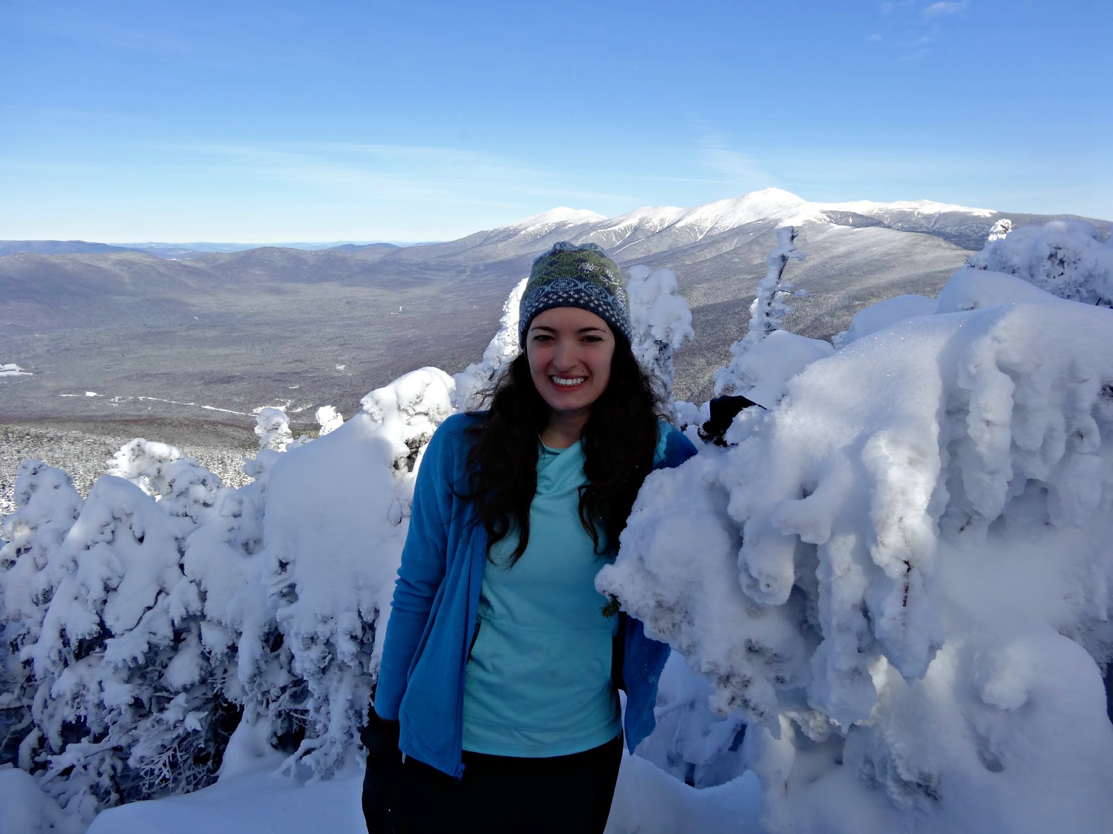
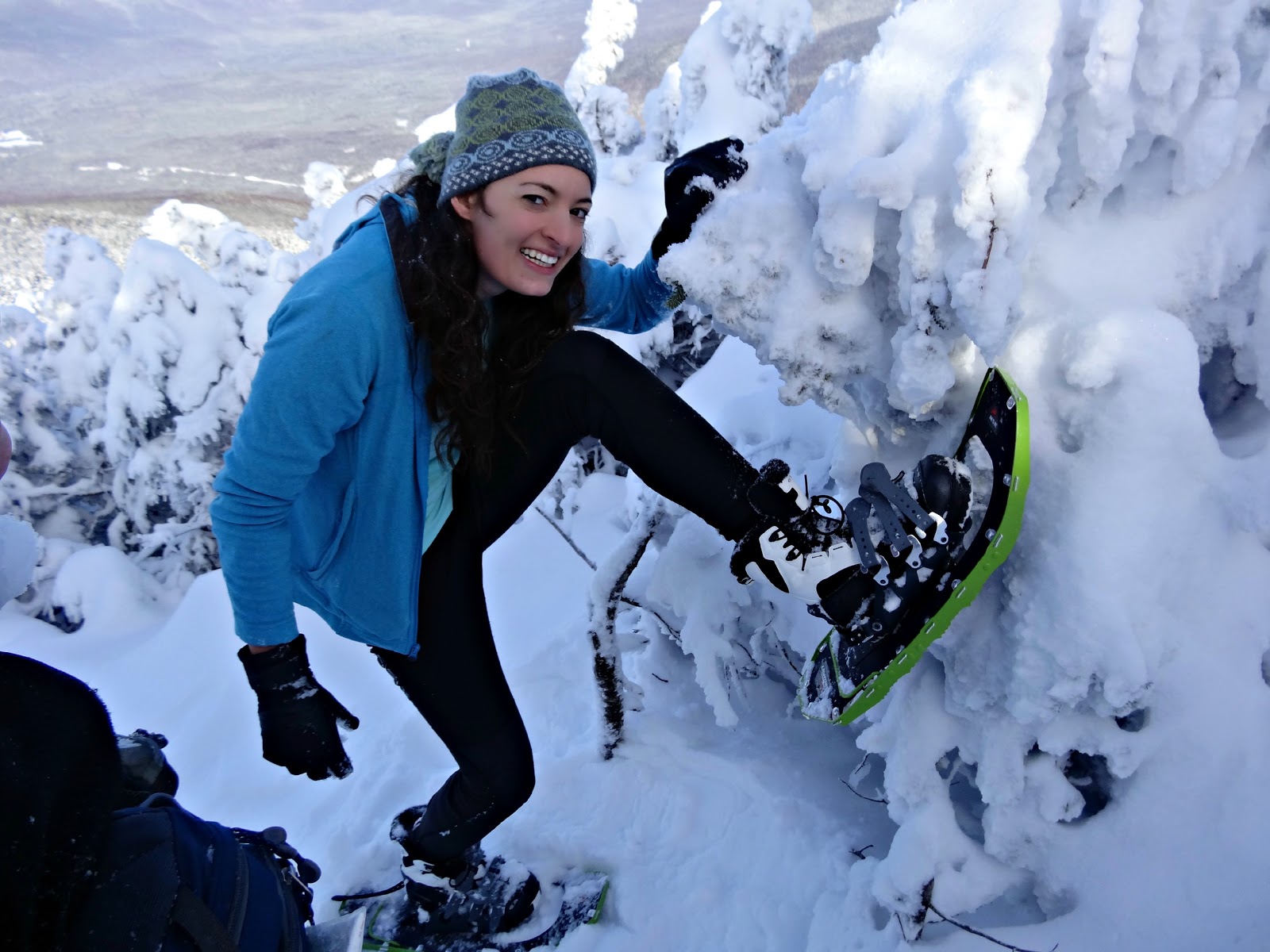
I had to show off my new boots I got for Christmas (Salomon Toundra's) and my snowshoes I never got to use last winter!
At this point we knew we had limited time to tag Mt. Willey and hike down before sunset. We had headlamps with us, but would rather not use them. I don't remember the trail between Field and Willey being as steep as it was. It descended a lot between the two and we were dreading every time we had to maneuver down a steep section as we would soon be turning around and going back up it.
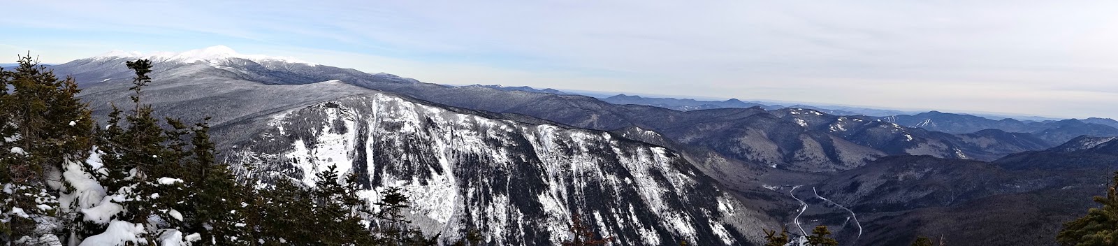
When we got to the summit of Mt. Willey (4285') the views were totally worth the extra effort. We took a couple of pictures, grabbed some water, and were determined to make it down before 4:30. We made it back to the trailhead by 4:15 (woo hoo!)
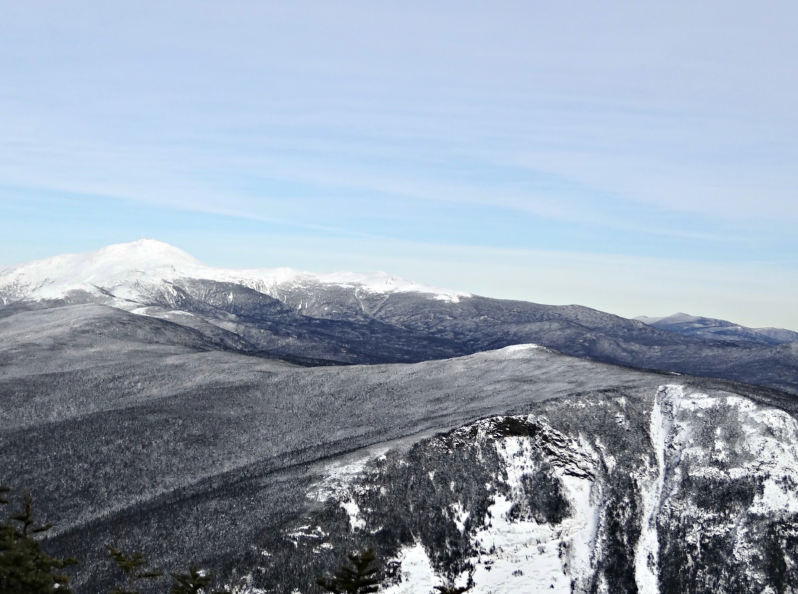 |
| View of the Southern Presidentials from Mt. Willey |
 Quick Facts:
Approach from: Avalon Trailhead at the Crawford Depot (next to AMC's Highland Center)
Quick Facts:
Approach from: Avalon Trailhead at the Crawford Depot (next to AMC's Highland Center)
Height:
Willey: 4285 ft
Distance: a little over 10 miles
Elevation gain: 3749 feet
Time: 7: 15 (including all breaks)
sdizzy
Very nice, love the blog. The col below Mt Tom is one of my favorite places, really nice woods there for sure!
CJ Mauger
Beautiful pics! We are winter hiking the 48 as well but much more slowly, due to creaky knees and entrenched work schedules. where are you headed next?
Ted Bolton
Looks like you had a great hike Alison. And with snow shoes no less!
david hamilton
Looks like you had a muchh better view than I did last weekend! I found it very frustrating breaking trail up there! I have a quick post about my hike (same loop) the week before here: ultrabeastandbeyond.blogspot.com
rich
Alison, I hiked the all nh 48 4,000 footers in 1997/1998 on a whim. It was my first time hiking in the winter. It was so much fun. You can do it in one winter, just pick your mountains and your gear. Enjoy!
[email protected]
Carl Banyan
Loved the info on the Presidential Peaks in a day - definitely going to try to do that in a couple of months after this school year winds down.
Since you clearly seem into random physical challenges, try the Four-State Challenge on the AT. I wrote a quick blog entry on it - basic premise is you start in PA and go over a 45-stretch that brings you through parts of PA, MD, WV, and ends in VA - 4 states, 24 hours.
Trust me... you can do it.
http://wherewasit.wordpress.com/2012/04/10/the-death-march-or-the-four-state-challenge/